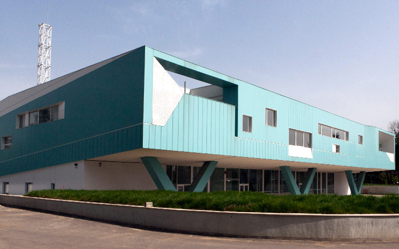
Emergency Situations Management Center – Bucharest
| Country | City | Inhabitants | Area |
|---|---|---|---|
| Romania | Bucharest | 1,900,000 | 228 km2 |
Nowadays, public protection is a top priority of cities, but it has also become more challenging as citizens demand more transparency of the actions undertaken by authorities. Incident management is a not completely owned by any single entity, therefore maintaining an operative state of action during an emergency management situation is of utmost importance.
When it comes to responding in a swift and unfailing manner in Bucharest area, the stakes are high. The area is subject to a large array of various risks and it is also the central hub for all local and state agencies that need to coordinate responses to hazard events, incidents, and disasters. The fundamentals of the decision to create an Emergency Management Situation center in Bucharest were to have a single point of decision and action.
System functionalities
Considering all this, UTI and its partner companies developed a complex Emergency Management Center in Bucharest, the largest in Romania, whose aim is to create a common operational picture for police, gendarmerie, ambulance, civil protection, fire brigade, paramedics and provide real-time situational awareness to help improve decision-making speed, accuracy, and effectiveness.
The system is interfaced al all levels with the National System for the Emergency Situation Management.
The concept designed by UTI integrates within a unique command center all the dispatches of the institutions involved in managing emergency situations in order to:
- Identify emergency situations and/or disasters, by collecting and analyzing data from the territory, in real time
- Provide real-time answers in case of an emergency in Bucharest and its surrounding areas
- Access all resources and make them available on all the workstations and on the operational video-wall
- Ensure the coordination of the intervention teams to quickly restore the state of normality
- Localize incidents fast and therefore limit their effects
The performed works were comprehensive, from building a leading edge headquarters to providing the logistic and technical infrastructure the Center needs for a proper operation and implementing advanced and secure software and communications solutions.
Benefits
The main role of the Center is to help authorities with coordinated planning, mitigation, response and recovery efforts. Analytical and geospatial software is used to aggregate information from various sources, identify adverse conditions, determine and assess multiple responsive actions and monitor the implementation and effectiveness of the actions.
- Correlated information is rapidly available to help save lives, minimize material losses and manage crisis situations
- Minimize disruptions to public services and activities and keep critical services running
- Acknowledge events as they arise and propose responses to manage the impacts and the consequences
- Increase the citizen’s comfort and safety
- Efficiently use of the human and material resources involved in intervention actions