UTI participates in the National Program of Cadastre and Land Registration. How much money will save the Romanians that sell properties?
UTI, as a member of the Procad SRL – UTI Grup SA – Geolink SRL venture, signed a 48-month agreement for the systematic registration of buildings in 12 of the territorial-administrative units included in the National Cadastre and Land Registration Program. The units are located in Arad, Timis and Caraș-Severin counties. The contract has been awarded via public bidding.
Works have already started in Frumusei (Arad), Balint and Secas (Timis), while for the other towns and villages the registration is programmed to be performed in 2016-2017.
The direct beneficiaries of this program are the citizens as the registration will incur no costs for them. Currently, the cadastre registrations are performed, upon the initiative of each owner, in exchange for a fee.
The works UTI performs are located in rural areas where the land surfaces vary in size and will bring their owners savings of about 1,000 lei.
The project is a major need in Romania, as there are frequent situations when the properties registered in the property deeds do not concur with the real location, size, and neighborhood. After the project has been implemented, any individual or legal entity will benefit from the free registration of its building(s).
Advantages
- Free drawing of the cadastre plan for each property (issue of the inheritance certificate, registration of the buildings that do not have proprietary deeds)
- Solution of the identity documents related issues
- Land parcels consolidation
- Easy building transactions
- Reduction of the response time for the land registration and cadastre plan requests
- Increased safety of the property civil circuit
- Land administration improvement
- Improvement of the land registration strategy
- Increased land productivity
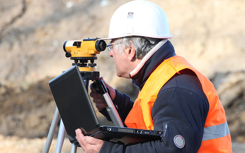
In order to execute this project, UTI has established a team of young specialists, proficient in geodesy, cartography, topography, photogrammetric, cadastre, GIS, that will analyze the documents owned by private persons and the documents that are registered by the authorities, will measure, describe and register the lands and buildings in the technical documents, will represent them on cadastre plans. When all these actions have been performed, the information will be delivered to the authorities in digital format.
The results of the project will be displayed publicly and the citizens will be able to request the correction of the errors in the registered data.